When it comes to capturing aerial images for construction sites or any other image reporting activity, the first thing that comes to mind are drone or satellite solutions.
But which one to choose? In reality, the answer depends on your specific needs. In this article, we’ll explore the differences between photos produced by drones and satellites, and help you figure out which tool is best for you.
Drones: Superior detail for great visual impact
The drone, by its nature, flies at a height of a few dozen (or at least a few hundred) metres. Thanks to their proximity to the ground, they can capture details that satellites cannot.
Here are some distinctive characteristics of photos taken with drones:
- Superior detail: Drones can fly very close to the ground, which allows them to capture images with a very high level of detail, which can also be used for marketing campaigns with great visual impact.
- Width of field: Drones can cover a large area in a single flight, making them ideal for projects that require wide coverage for both surveying and inspection and safety purposes.
- Different angle: Unlike satellites, drones can capture images from different angles, which can be useful for certain types of projects that require a view other than perpendicular to the ground.
➡️ Find out more about our service: Aerial construction site shots with drone
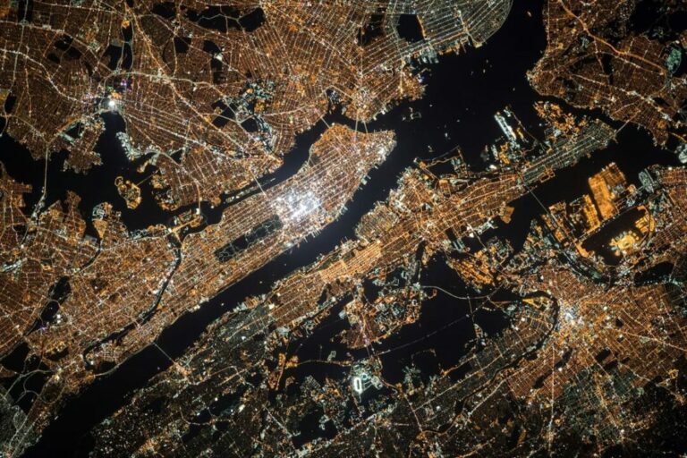
Satellites: Satellite images updated to detect in detail
Satellites, on the other hand, are capable of capturing images of large tracts of land in a single shot. These are no less than drones: they simply play a different role within the great world of photographic monitoring.
Here are some of their main features:
- No restrictions and updated photos: Satellites can provide updated images of any part of the world without particular restrictions, which is particularly useful for monitoring changes over time, such as urban planning.
- Accuracy: With satellite imagery, you can create timelapses that show the evolution of an area over time without being hindered by clouds and clouds of smoke.
- Site understanding: High-resolution satellite imagery provides important information for project planning, such as understanding the interaction of complex ecosystems.
➡️ Find out more about our service: Updated satellite photos
Which one to choose?
The choice between drones and satellites depends on your specific needs.
- Drones: If you need high-resolution, detailed images of a specific area for marketing purposes, a drone may be the best choice.
- Satellite photos: If, however, you need to monitor large-scale changes over time, a satellite may be more suitable.
Remember, the right choice depends on your specific needs. Both drones and satellites have their strengths, and the key is understanding which tool is best for your specific project.